Lanna Thai Villa is situated in Thoeng District of Chiang Rai Province. Geo morphologically the Province is characterized by its Basin and Range topography. The Villa is situated near the foothills of the Thoeng Range a linear ridge system which trends Northeasterly until meeting the Mekong River. This range is composed of volcanic rocks dating some 210 to 286 million years ago. Another parallel Northeast trending range, the Pha Mon Range, forms the Thai - Laos border and is composed of sedimentary rocks including sandstones, shale, siltstone and conglomerates around 280 million years old. It is on this ridge line that the famous view points of Phu Chi Fah and Pha Tang are located. Lying between the two ridge systems is an undulating valley primarily underlain by sedimentary rocks dating to around 210 million years ago and overlain along the river courses in the valley bottom with flood plain and alluvial deposits ranging from modern times to the past 100,000 years. Flat low lying areas which are the focus of intensive rice cultivation are formed from Quaternary or ice age sediments dating from the past 100,000 years or so. Basin sediments vary in size but widespread areas of fine grained clay and silt which are poorly drained permit successful wet rice agriculture. Elevations range from a typical 370 m (1,213ft.) above sea level in the fertile plains to more than 1,000m (3,200ft.) above sea level in the mountainous zones. The Phu Chi Fah mountain view point is at 1,628m (5,341 ft) ASL while Doi Ian which looms behind Lanna Thai Villa has an elevation of. 1,178m (3,865 ft.) ASL. Though much of the original vegetation has been cleared for agricultural practices the construction of wooden homes and the use of wood for fuel in tobacco processing many areas of older growth dense jungle remain, especially along the Laos border from Ban Huak to Ban Lao Ou.
Whether day tripping by bike or vehicle Lanna Thai Villa's location permits ready access to the natural beauty of the local area. Paved highways and back country roads with little traffic make exploring easy. Many scenic bike routes have been mapped out which focus on local farm access roads which wander through valleys providing closeup views of adjacent hills and mountains and ever changing agricultural activities.A well maintained trail leads to the little visited summit of Phu Chom Dao, 1,532 m. (5,025 ft.) with expansive views of Laos and Phayao Province of Thailand. The trail passes through both second growth and pristine jungle and requires about 1 1/2 hours from car to summit. Local guides can also be arranged to hike off trail to other summit view points. Phu Chi Fah and Pa Tang viewpoints are easy 25 min. hikes from nearby car parks. These cliff top viewpoints offer views of Laos and the Mekong valley.
The pictures which follow were all taken on local bike trails or within a 1 1/2 hour car drive from Lanna Thai Villa.
 |
| Lanna Thai Villa Starting Point |
 |
| View Across the Highway from Lanna Thai Villa | |
 |
| Basin and Range Topography |
 |
| Looking East to Ban Pagee and Ban Ngao |
 |
| Farm Access Road - Ideal for Biking |
 |
| Good Views from Quiet Road |
 |
| Doi Ian |
 |
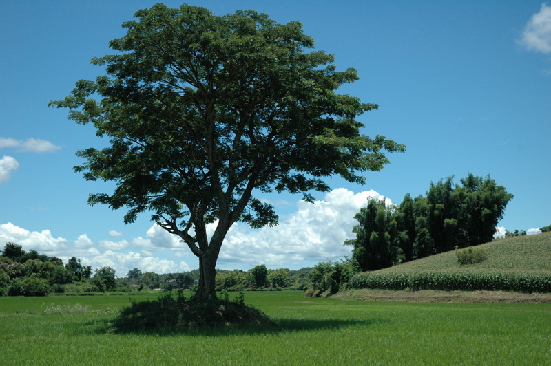
| Flame Tree Along Country Road |
 |
| Country Scene |
 |
| Country Scene |
 |
| On Road to Phu Chi Fah |
 |
| Doi Pha Mon Range Marking Thai/Laos Border |
 |
| Phu Chi Fah |
 |
| View from Phu Chi Fah with Mekong River in Background |
 |
| Color in the Mountains |
 |
| View from Pha Tang View Point |
 |
| Mountains Near Pha Tang |
 |
| Mekong River and Laos from Pha Tang |
 |
| Clouds and Mountains at Pha Tang |
 |
| Mekong River |
 |
| Doi Phu Chom Dao in Right Background |
 |
Beginning of Trail to Summit of Phu Chom Dao
 |
| Wild Bananas Along Trail |
 |
| View Looking Northwest From Rocky Promontory |
 |
Interesting Tree Along Route
|
|
 |
Canopy of Wild Banana
|
 |
Sentinels of the Forest
|
 |
Patterns in the Jungle
|
 |
Looking East Into Laos
|
 |
Laotian Ridge Lines
|
 |
Hmong Village in Laos
|
 |
Picnic With a View
 |
Enjoying the Panorama
|
|
| | |
|
|
|
|